Intimate Topography
Participative installation, Greenland, Savissivik, 2009
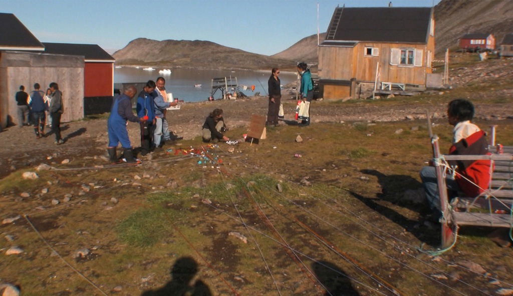
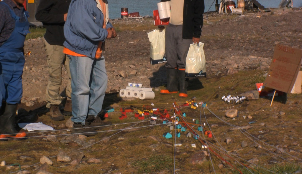
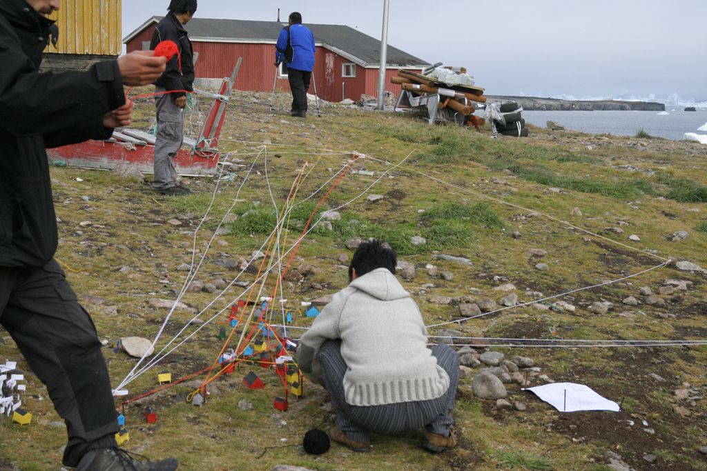
Intimate Topography was a temporary work by Ole Kristensen and Annesofie Norn and the inhabitants of Savissivik. The Work was gradually developed over three weeks in the remote settlement Savissivik in north-western Greenland.
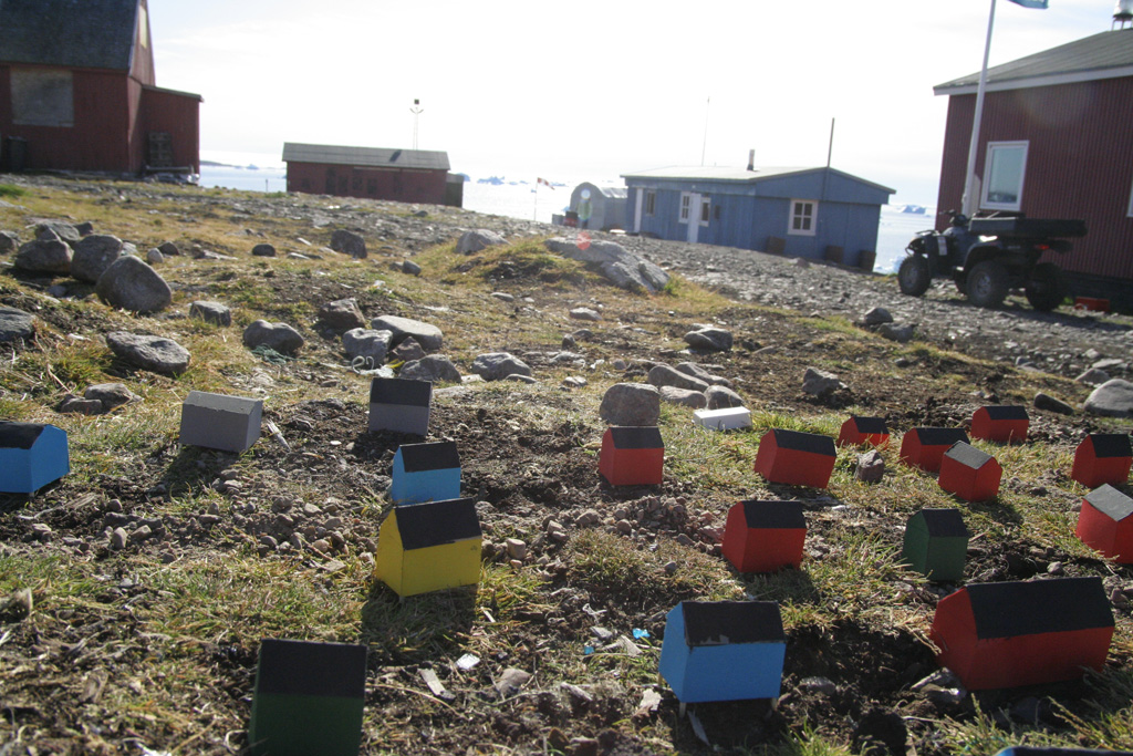
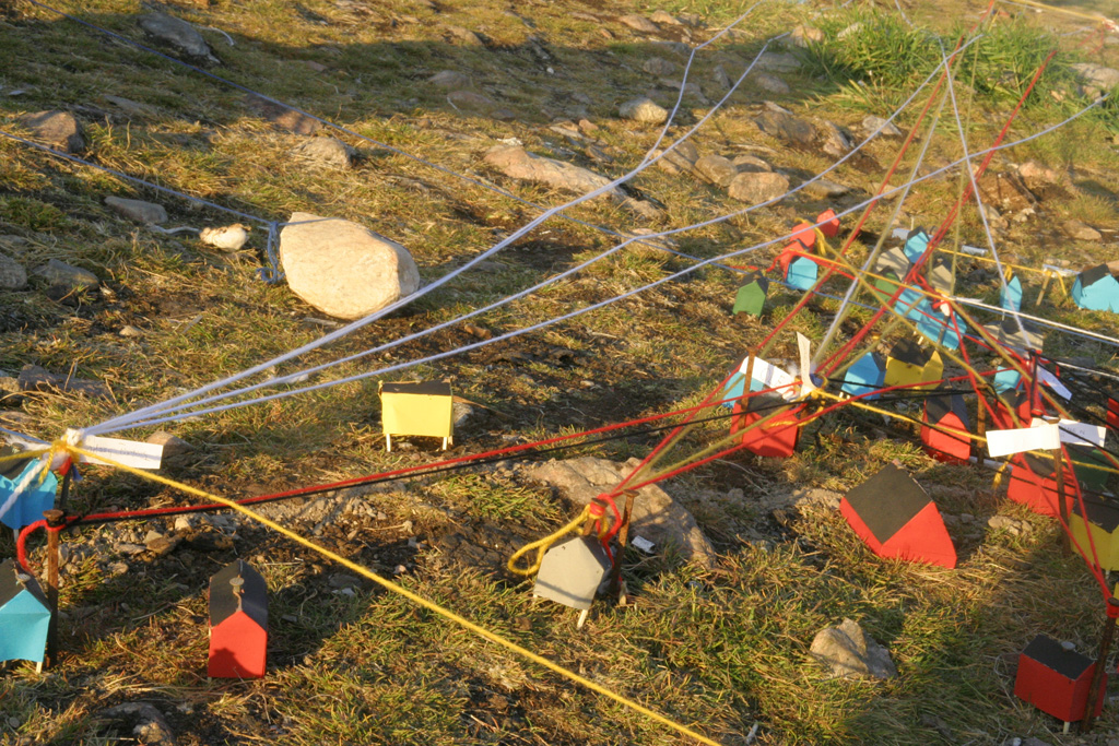
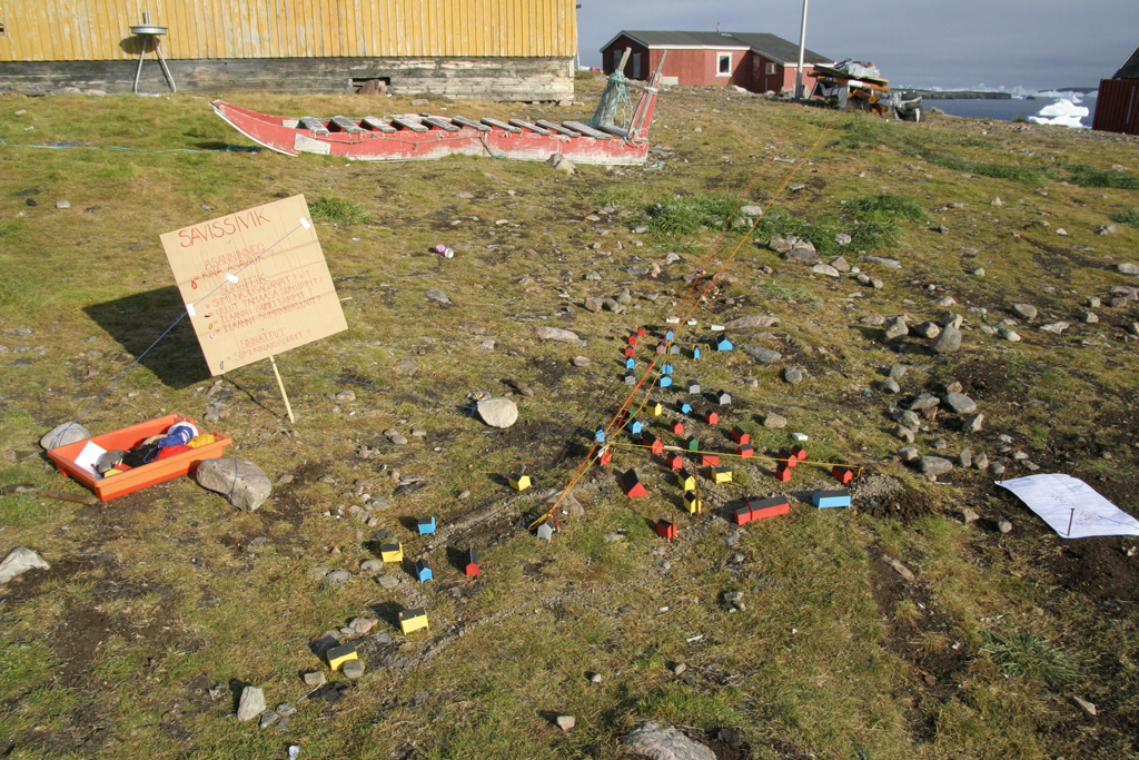
40 colourful houses and 70 residents shapes the remote village of Savissivik. An old hunting settlement south from the American Thule airbase.
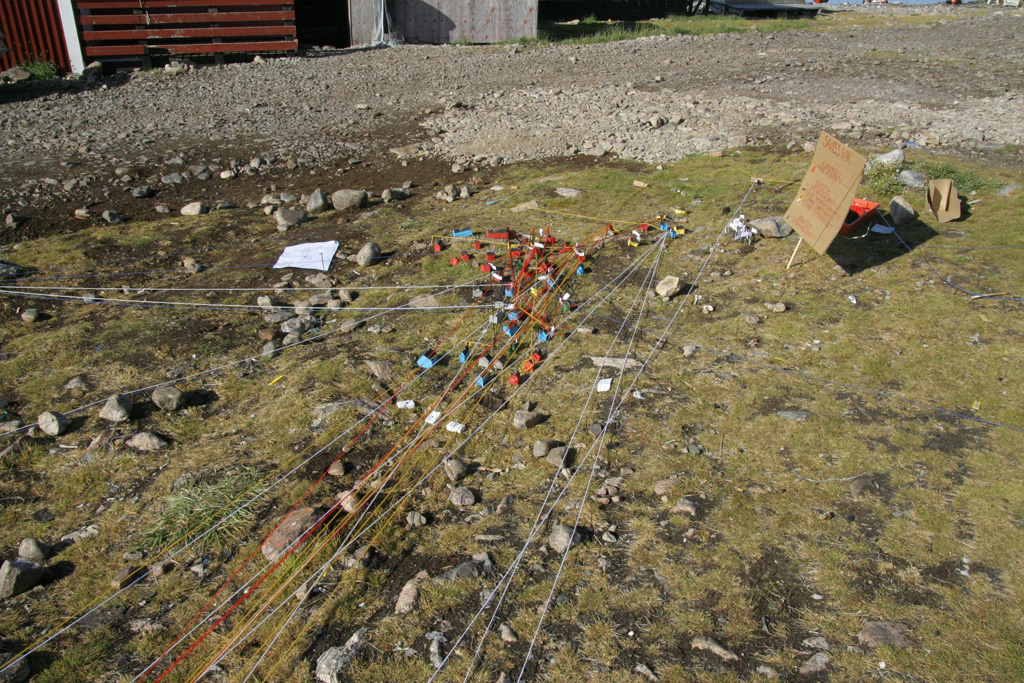
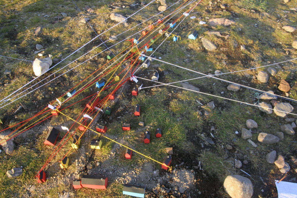
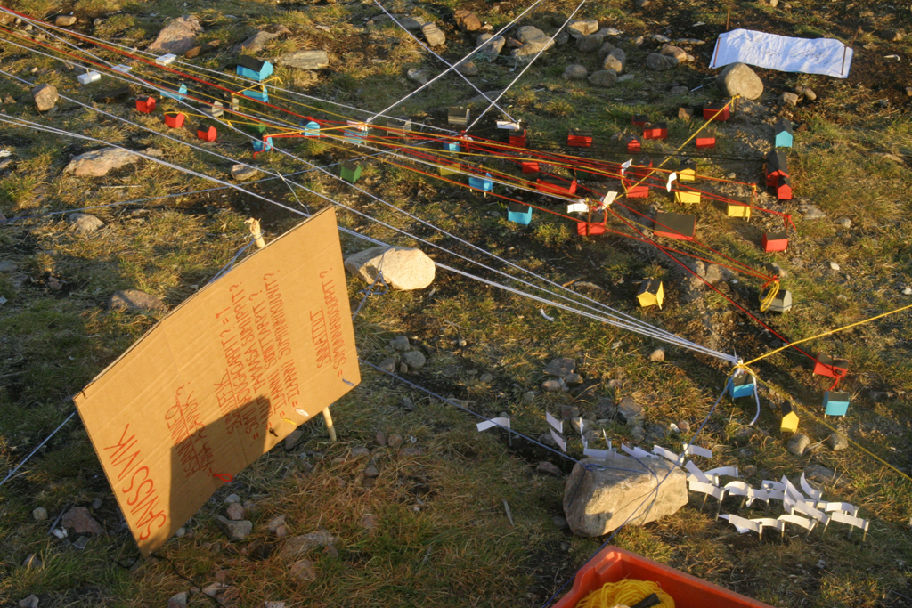
The three-dimensional topographical model of the village sought to map out the mental infrastructure of the place and create a simplified visualization of the inhabitants daily routes, personal connections and individual longing for foreign places.
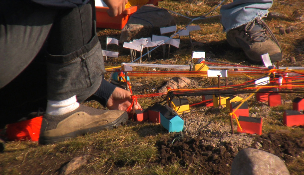
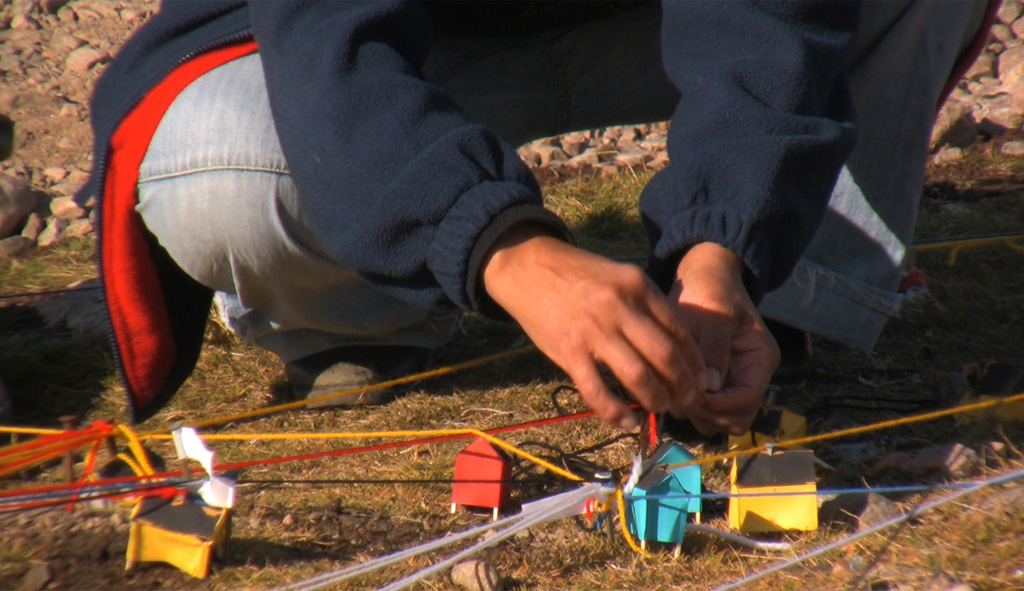
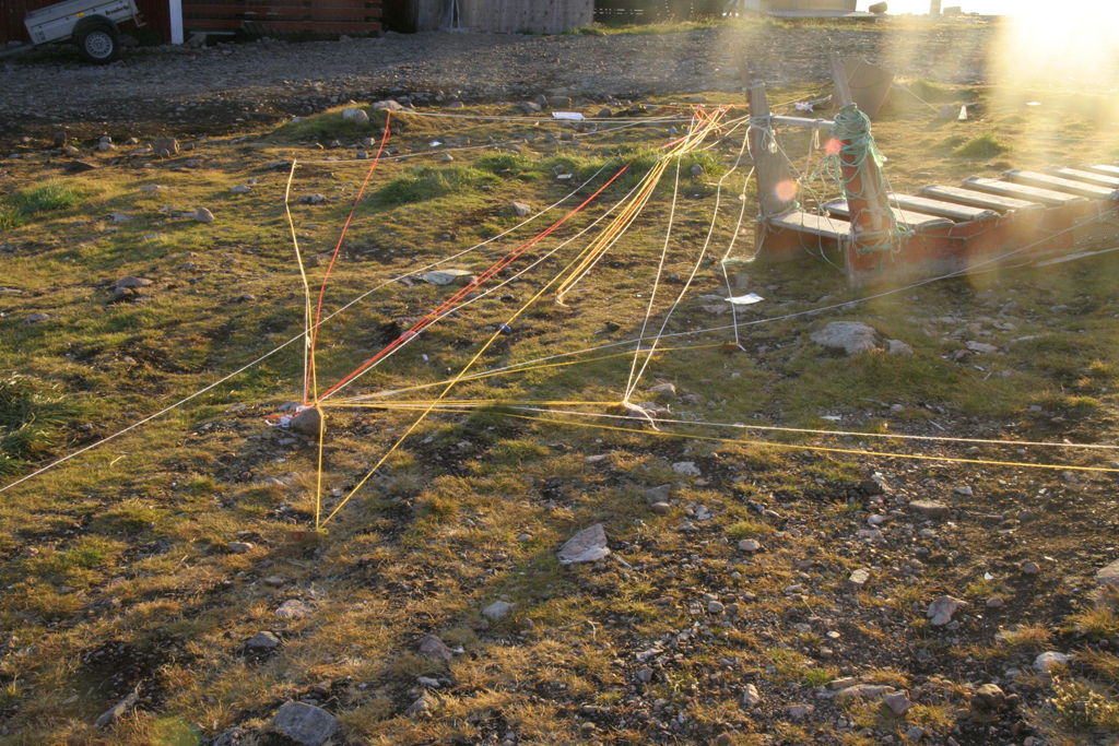
Here was a dream’s direction and location made visible with a nail in the ground. A loving relations was drawn with red strands across the houses. Where the blue strand labelled everyday routes, the yellow strands pulled out into the Melville Bay as a sign of occasional travels, weekly hunting trips, or dreams towards unseen places.
It gradually became clear how the settlement’s residents were interrelated, across many generations and a map by strings of movements and thoughts took its own form.
The way that we check by census, divide up, classify, label, conscript, administrate is a part of the rite of science. It interests me how the methods used in scientific investigation may produce meaningful answers only relevant within its own logic.
The project seeked to reflect on formal structures in the western tradition of knowledge production. By formulating a common notative system, which could work as a point of referance as a local standart, we attempted to make the intangible measurable and create an intimate imprint of the place from which the people could relate to the world collectively.
Click here, to view Intimate Topography in the context of other projects in Greenland

